I had spend the fall, winter, and early spring of 2016 hiking Arizona prominence peaks. Upon our return to Oregon in the late spring I was ready to focus on hiking Oregon prominence peaks. A large number of such peaks lie in Southwest Oregon in the Siskiyou Mountains, Southern Oregon Coast Range, and Western Cascade Mountains.
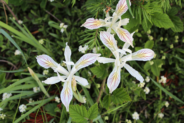
I decided to make my first peak bagging trip to the Siskiyou Mountains. I assembled a list of peaks, gathered maps, trip reports, and key GPS waypoints to help me access these peaks.
Olson Mountain
On May 17 I drove to and hiked Olson Mountain in the Western Cascades northeast of Medford. This peak has 1860 feet of prominence, the 94th most prominent peak in Oregon.
The first challenge was to navigate the forest roads to drive to near the summit. I had viewed satellite images of the forest roads to help sketch out a possible route. I marked this route with waypoints on my topo maps of the area. This research proved to be very helpful and I was able to find my intended “trailhead”.
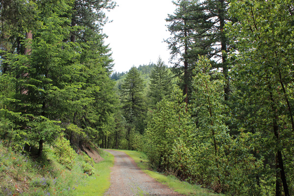
From my parking spot I hiked up a short jeep trail. I wandered about the brushy and indistinct terrain of the summit to identify the highest point on the mountain. I finally satisfied myself that I had found it and retraced my route back to my Jeep.
King Mountain
I then drove to near Wolf Creek and followed the Coyote Creek Road east towards King Mountain. King Mountain has 2184 feet of prominence, the 55th most prominent peak in Oregon. Some sources place King Mountain in the Cascade Mountains but others place it in the Siskiyou Mountains.
My trip reports, road research, and topo maps helped me navigate gravel and rocky dirt roads high on King Mountain. I could have driven to the communication towers and the summit. Instead, I stopped about 0.8 mile short of the summit. From there I enjoyed a pleasant road hike to the summit and back.
Greyback
Greyback has 2002 feet of prominence, the 74th most prominent peak in Oregon. From King Mountain I drove through Glendale and followed the McCulloch Creek Road and other forest and jeep roads into the Siskiyou Mountains. I arrived at a saddle just northeast of the summit of Greyback. Here I parked for the night and this proved to be a very pleasant campsite.
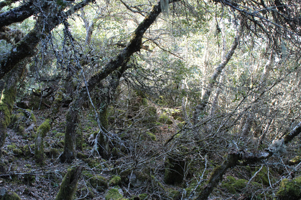
The morning of May 18 I hiked the rest of the jeep road. Then I traversed up the forest-covered slopes of Greyback. The forest becomes quite thick in spots near the summit, hiding several rock outcroppings. Eventually I found the highest point which included an informal water-logged summit registry in a jar beneath a rock. On the descent I passed through a forest opening on a ridge and enjoyed views to the south.
Mount Bolivar
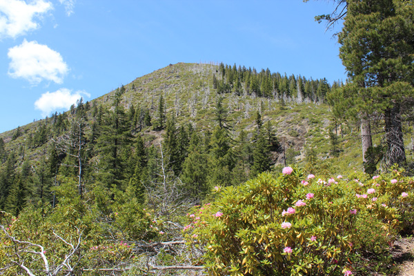
I returned to Glendale and topped off my fuel tank, then headed west to Mount Bolivar. Mount Bolivar has 2479 feet of prominence, the 35th most prominent peak in Oregon. At least one source places Mount Bolivar in the Siskiyou Mountains. But most sources place it at the southern end of the Oregon Coast Range. Mount Bolivar’s elevation of 4319 feet makes it the highest point of the Oregon Coast Range and the Coos County High Point.
I had passed by the Mount Bolivar Trailhead previously in August of 2008 on the Oregon Bicycle Ride. This time I used a road atlas and trip reports to follow the forest roads to reach the trailhead. I had the trailhead to myself. I enjoyed a very pleasant hike up a well-maintained and wildflower-decorated trail to the summit. The summit had open views in all directions.
Brandy Peak
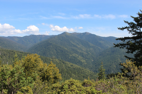
I returned to the Mount Bolivar trailhead and headed for Brandy Peak in the Siskiyou Mountains. Brandy Peak has 3618 feet of prominence, the 9th most prominent peak in Oregon. Its elevation of 5298 feet also makes it the Curry County High Point.
The drive to the trailhead for Brandy Peak took longer than I had expected. The paved forest roads were quite curvy and became gravel for several miles. I eventually reached the Bearcamp Ridge Trailhead just off FR 2308. This road had some easily crossed snowbanks and some minor debris on the roadbed. I saw no other vehicles on the drive in or out.
I took the Bearcamp Ridge Trail south, then followed the unofficial “Brandy Peak” trail leading to the summit. This was an easy hike to a scenic summit with views in almost all directions. It was a very pleasant place to linger. But I needed to return to my Jeep and find a campsite for the night. I found a campsite along a rarely used forest road protected from gusty breezes.
Mount Isabelle
The next morning, May 19, started with the peaks shrouded in clouds, occasional showers, and a cold wind blowing through the passes. I realized I was not going to summit Mount Ashland that day. So I took my time driving to the Mount Isabelle Trailhead. On the way I visited the trailhead for Greyback Mountain, a goal for a future trip.
Mount Isabelle lies in the Siskiyou Mountains with 2294 feet of prominence, the 45th most prominent peak in Oregon. I hiked a road to the summit of Mount Isabelle and had nice views from there between showers and hail. I saw higher snowy peaks sometimes showing in cloud breaks to the south.
This was my first exploration of the Siskiyou Mountains. I have already planned another trip into the region for next spring.

Leave a Reply