On February 22 I hiked Black Mountain north of Oracle, Arizona. This particular “Black Mountain” is the 85th most prominent peak in Arizona with 1907 feet of clean prominence and 5587 feet of elevation. It also has nearly 20 miles of isolation (distance to any higher peak).
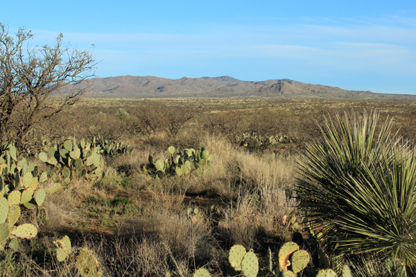
On February 17, Linda and I watched the start of the 24 Hours in the Old Pueblo, a 24-hour mountain bike race held just south of Black Mountain. We drove in north on the Willow Springs Road, northwest of Oracle, Arizona to reach the event. We were surprised by the size of the temporary tent and RV village and enjoyed the start of the event. Afterwards, we drove further north on Willow Springs Road and explored access to Black Mountain. I planned to return soon.
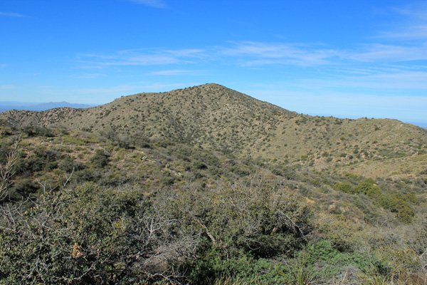
Five days later I drove this same road to access Black Mountain and parked close to a water tank near Jewel Well on Arizona State Land Trust Land. From there I hiked up the ridge to the northwest to reached Point 5327 where I got my first view of the Black Mountain summit. The brush started here in earnest. The worst vegetation was the yucca hiding in grass and the unavoidable catclaw. The brush was more navigable by my staying on ridge lines and following cattle trails where they existed. My route followed the ridge right to left in the above photo, then directly up the east face to the summit.
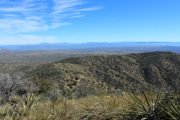
The views of surrounding peaks in all directions occupied me for quite a while on the summit. Below me to the east I reviewed my brushy ascent ridge and Point 5327 to its right. Above the ridge on the distant horizon I spotted Mount Turnbull, Mount Graham, and Pinnacle Ridge. Some friends and I plan to attempt Pinnacle Ridge last next month.
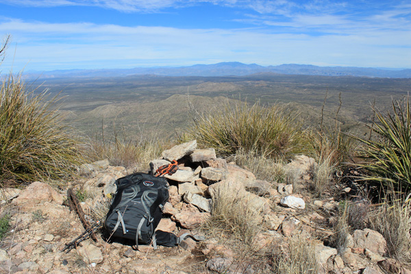
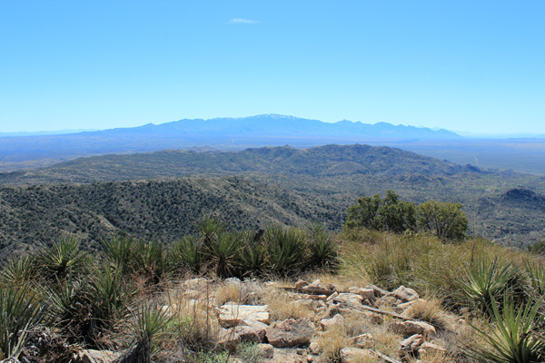
To the north I picked out Pinal Peak and El Capitan Mountain, while the Santa Catalina Mountains dominated the southern horizon. The summit had a registry bottle with many loose pages of notes inside buried in a rock pile. I added my name and date to one of the loose pages.
I descended the same route. The hike was short in statistics – about 5 miles round trip and 1200 feet of elevation gain – but the route was very brushy. I was glad to have long pants, a long sleeved shirt, and thick gloves. Even so, by the time I reached my Jeep my long sleeve shirt sleeves were blood-stained from the catclaw.

Leave a Reply