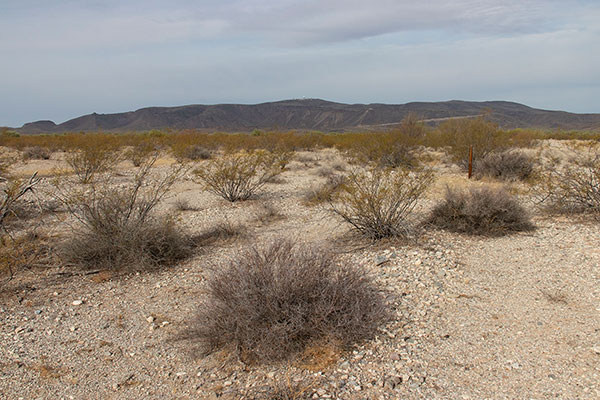
On Thursday, March 27, Linda and I found a somewhat secluded campsite off Darby Spring Road south of Ajo, Arizona. Here we spend the next three nights with our dogs. I hiked my first peak, Childs Mountain, on Friday. Meanwhile, Linda explored the Sonoran Desert near our camp on foot with our dogs.
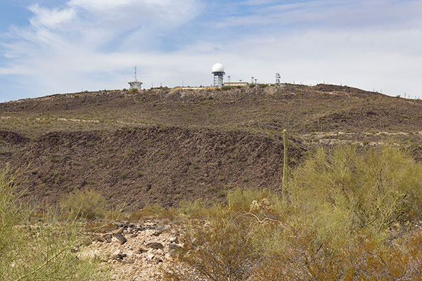
Childs Mountain has 1240 feet of topographic prominence and is the site of a FAA radar facility. To reach it, I drove north from Ajo on Arizona highway 85, then west on Childs Mountain Road. The road was gated about four miles short of the facility. I parked nearby and hiked the road upwards.
The first two miles of the road was gravel. It then entered the Cabeza Prieta National Wildlife Refuge and became asphalt. Officially from here my route required I have a permit. I had obtained my annual permit last summer, but had forgotten about this requirement and had left my permit in my Jeep. I wondered if I could access my permit online via phone if I got stopped.

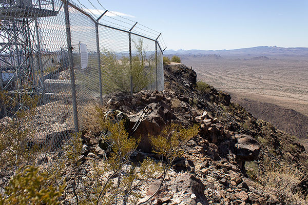
The day was sunny with pleasant temperatures. I reached the radar dome and explored candidate high points. I traversed a narrow route between the fenced facility to the east and steep slopes to the west. Here I found and tagged the highest point (summit) along the traverse.
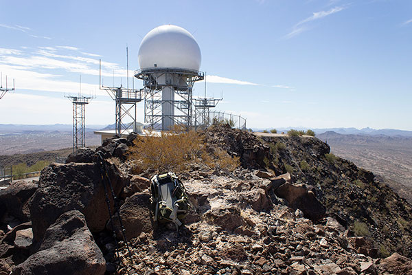

From there I continued the traverse and reached the last candidate point. The distant Sneed and Larue Benchmarks to the north were lower.
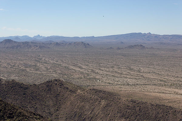
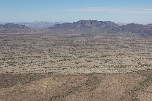
I recognized several peaks and ranges I have visited over the past years. To the far south I could see the Ajo Range. Further west I recognized the distinctive shape of Kino Peak, the highpoint of the Bates Mountains. Growler Peak rose nearby to the west. I noted Sauceda Benchmark on the eastern horizon.
After a short stay enjoying the views I circled the facility and descended the road back to my Jeep. One official vehicle passed me on my descent but the driver did not stop. The facility is automated and is infrequently visited.
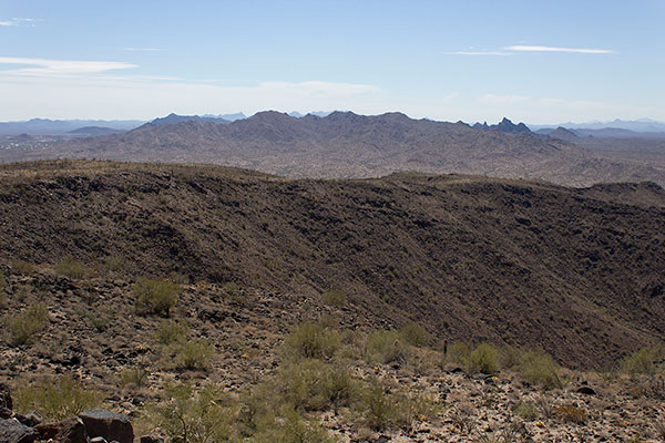
While descending I paused to study the Little Ajo Range to the south. One of those peaks was my goal of tomorrow’s climb. I’ll better understand that range when I visit then.

Leave a Reply