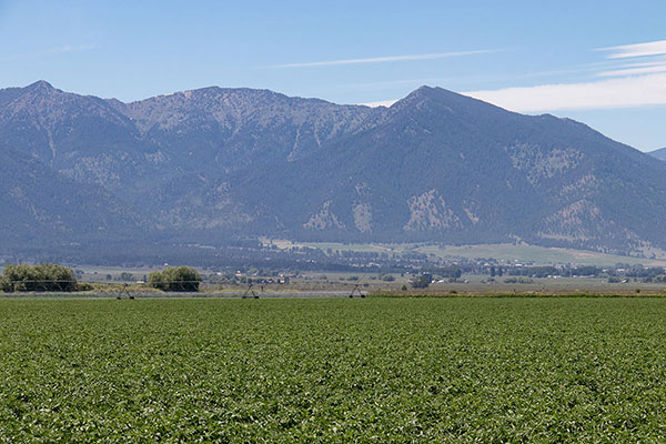
On Monday, June 24, I climbed Hunt Mountain in the Elkhorn Range northwest of Baker City, Oregon. Hunt Mountain has only 425 feet of topographic prominence, but it has 8225 feet of elevation and appears quite prominent from the Baker Valley. Hunt Mountain has called for me to visit every time I have looked up at it from the valley. It has been the most insistent of several peaks I hoped to visit soon in the Elkhorn Mountains.
Hunt mountain is protected from the east by extensive private property without public access. A possible southern approach from Pine Creek requires a long, steep, off-trail climb through forest. My preferred route has been from the north and west, via Rock Creek and the Highland Mine ruins. I turned back on my last attempt of Hunt Mountain two years ago due to the length of this approach. I planned to make a more serious attempt this time.
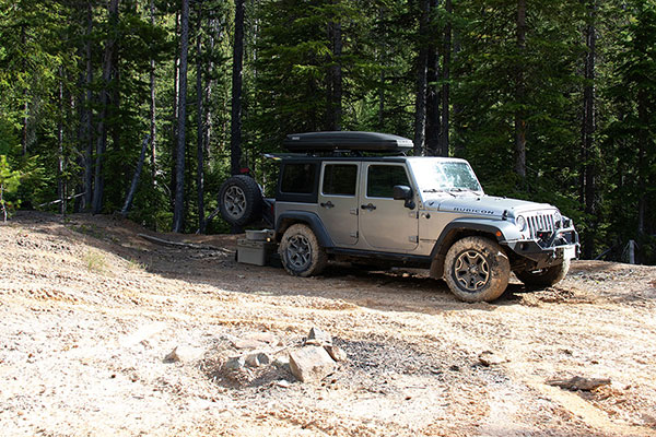
On Sunday afternoon, June 23, I drove from our Baker home up South Rock Creek Lane and Forest Road 5520 to Eilertson Meadow. I had attempted Hunt Mountain on foot from here twice previously. I was driving higher this time. From the meadow I followed a narrow, steep, and rocky road up to and past the abandoned Highland Mine ruins. I was most apprehensive about meeting another vehicle descending this road as I drove up, as there were stretches of road without any pullouts and it would have been difficult to get past each other. But I met no vehicles on the drive and saw no other people near the ruins.
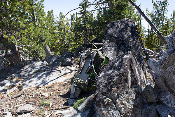
The last 0.4 mile of the drive was even narrower, steeper, and rockier than lower and it finished with a muddy, deep rut. But my Jeep and I arrived without incident at a large clearing in the forest above the ruins. Here I established my campsite and relaxed beside the South Fork of Rock Creek. It was a very pleasant campsite with the sounds of the creek and the breeze through the forest trees, sunny views of mountain ridges around me, and pleasant temperatures.

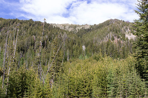
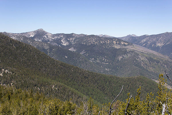
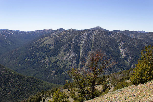
Monday morning I left my campsite on foot and followed the road higher. It immediately became even more steep, then soon transitioned into an ATV track, then the Highland Trail. I followed the Highland Trail up the western slopes of Maxwell Mountain. The forest opened up and I enjoyed the views of the Elkhorn Crest to the west. Eventually I arrived at what I call the “Highland Pass” on the south ridge of Maxwell Mountain.
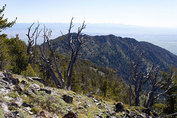
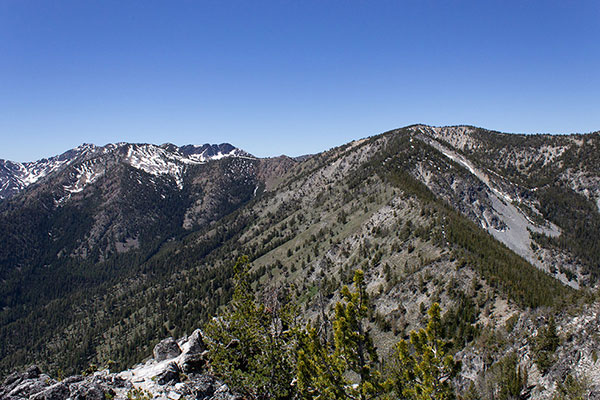
I could only partly see Hunt Mountain over the shoulder of Maxwell Mountain from the pass. Hunt Mountain was below me and seemed distant. It came into better view as I traversed towards it across the open southeast slopes of Maxwell Mountain. Eventually I reached Maxwell’s Northeast Ridge and started my descent towards Hunt Mountain near the ridge crest.
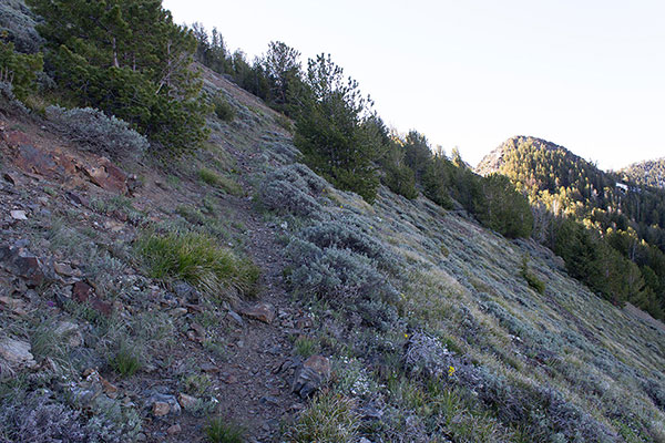
Higher on the ridge I traveled on the north side of the ridge crest over and around snow patches through open forest. Lower on the ridge the north side forest became more difficult to move through. To avoid cliffs along the ridge crest I moved to the open but rocky south side of the ridge. I descended carefully and attentively, well aware of my isolation.
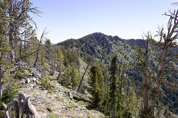
As I approached the low saddle between Maxwell and Hunt Mountains I debated how best to climb the West Ridge of Hunt Mountain. Gradually I decided to take a direct route and hoped that unseen cliffs did not stop me. But when I arrived at the saddle I decided to climb through a forested slope to the north of the West Ridge, itself.
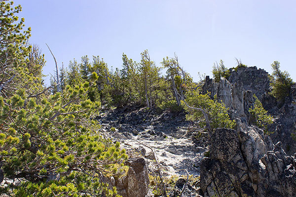

This route choice worked very well. Except for a couple spots of timber blowdown, the climb through the forest was open, pleasant, and avoided cliffs. Soon I reached the summit of Hunt Mountain.
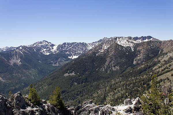
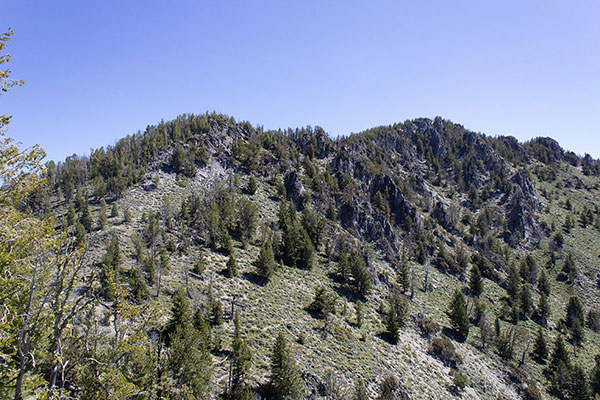
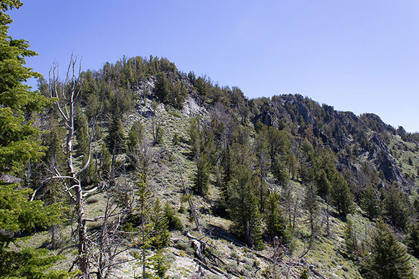
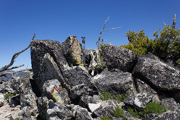
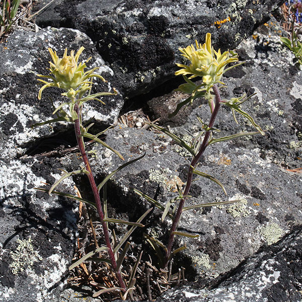
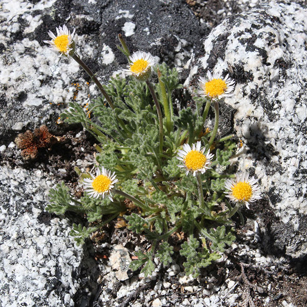
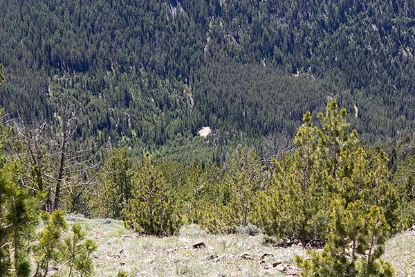
I spent about an hour at the summit resting and enjoying the views over lunch. I did not find any summit registry but did take several photos of the peaks to the west, the route I had followed from Highland Pass, and some nearby flowers I hoped to identify later.
It was time to begin my return, first down Hunt’s West Ridge and then up Maxwell’s Northeast Ridge. Ascending the ridge I paused for a few rests. It had been two months since my last notable climb and I felt my lack of training. When I reached the point where my route would traverse across the slopes towards Highland Pass I paused once more.
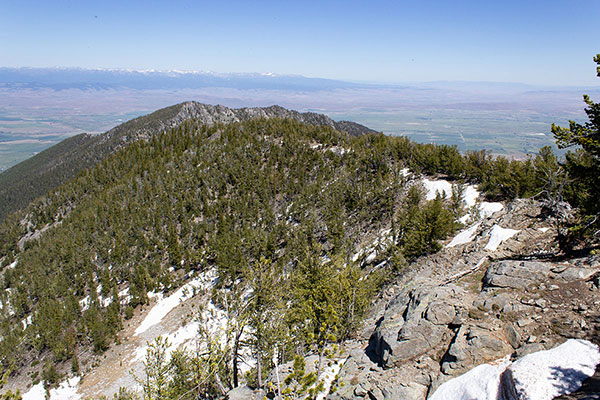
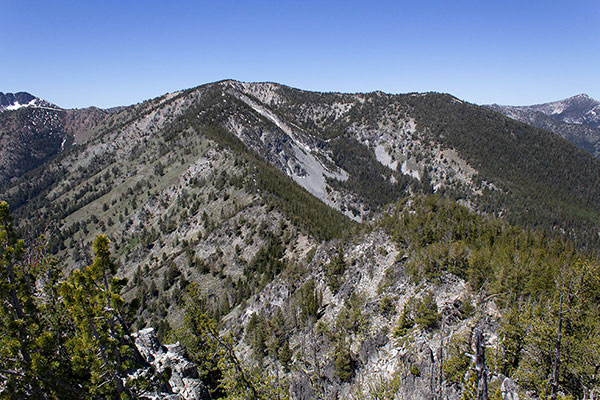
Maxwell Benchmark, the summit of Maxwell Mountain was so close, so I decided to climb up the open ridge a bit further to visit that summit as well. The Maxwell Mountain summit provided a nice view of Hunt Mountain behind me to the east.
From the summit I descended down to Highland Pass, then followed the Highland Trail to my Jeep parked near the mine ruins. My Jeep and I descended the primitive road from the mine without incident and returned home. I celebrated a successful day in the Elkhorn Mountains and now savor the memory of visiting Hunt Mountain whenever I see it high above our home.

Leave a Reply