On Saturday, March 2, I joined Matthias Stender, Scott Peavy, and Michael Vincent on a climb of Mesquite Benchmark, the highpoint of the Mesquite Mountains of Pima County southwest of Sells, Arizona. Mesquite Benchmark has 3789 feet of elevation and 1769 feet of topographic prominence, tying it as the 98th most prominent peak in Arizona.
I met the others where Indian Road 21 heads south off AZ 86 Saturday morning. From there we drove south through the village of Pisinimo and by a few isolated residences. We encountered very little traffic south of Pisinimo except for several Border Patrol vehicles heading in both directions. The paved road deteriorated quickly.
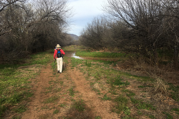
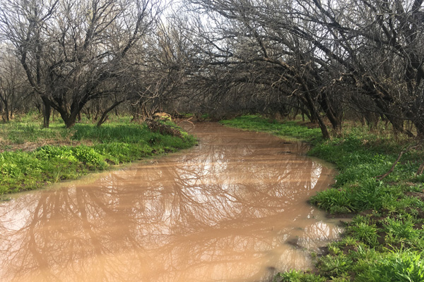
We turned west off IR 21 onto a primitive road. Our goal was to drive to within about 4 miles of the peak. The recent rains had left one spot muddy, but Vincent drove through on a second try. It was sticky so I drove around it. From there we entered a forested area and the road narrowed. Soon we encountered mud pools blocking the road where water from the San Simon Wash was flowing across and pooling on the road. The mud was too soft and sticky to risk going further. Because of the densely packed trees we could not drive around this spot so we parked there and began our hike.
We walked around the muck as best we could, but had to cross it in a few spots. We continued on the dry forest road beyond with mud clinging to the soles of our boots.
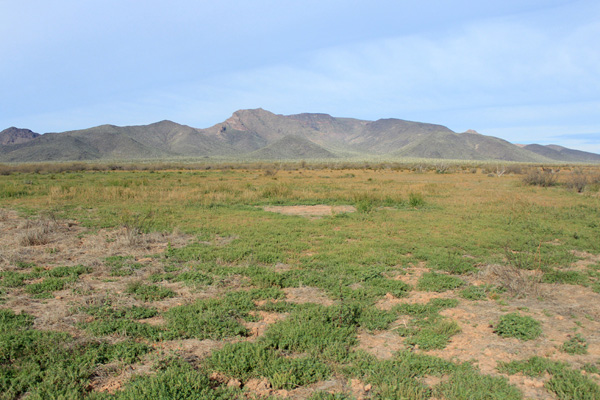
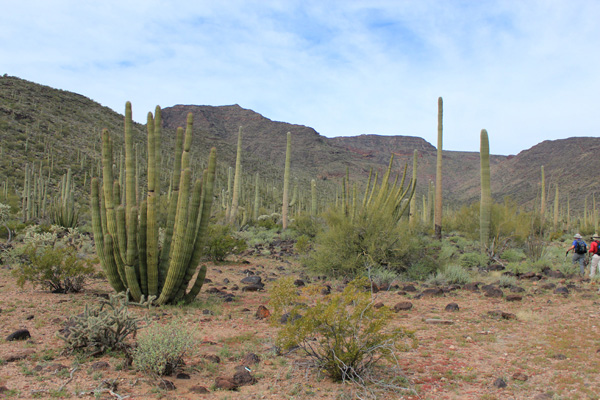
Eventually we left the trees and entered open desert with the first view of the Mesquite Mountains to our west. Here wild burros watched us walk by. Our plan was to climb up the east-facing canyon to a high saddle, then climb the northeast ridge to the summit plateau. The canyon was obvious ahead of us and we headed for it.
Soon we heard a helicopter approaching. A “Customs and Immigration” Black Hawk helicopter with someone sitting at the open side door circled us. We continued hiking and eventually the helicopter left. Then a Border Patrol helicopter approached and circled nearby a few times before leaving. Presumably the Border Patrol expected to see us further south on IR 21 and when we did not show they went looking for us. Would they be waiting for us when we returned to our cars?
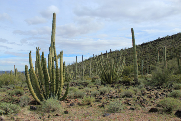
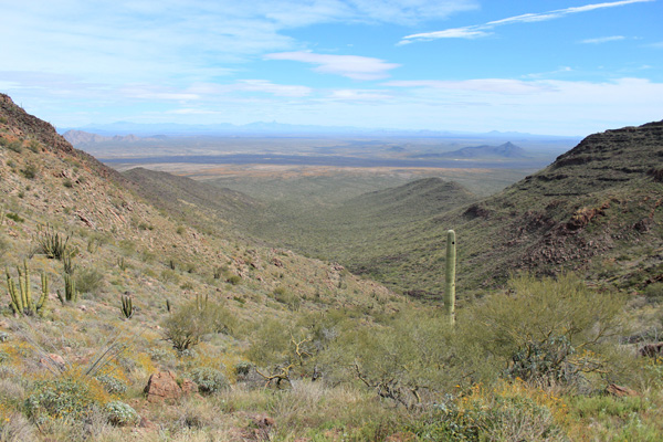
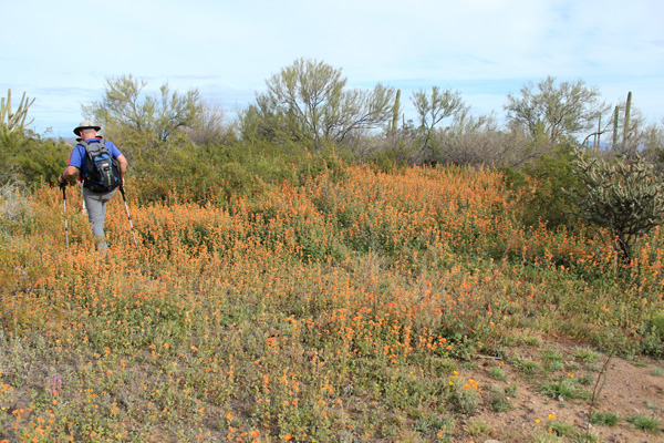
We continued west and entered the east canyon, passing several organ pipe cactus and patches of blooming globe mallow and Mexican gold poppies.
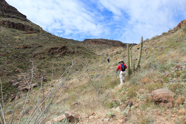
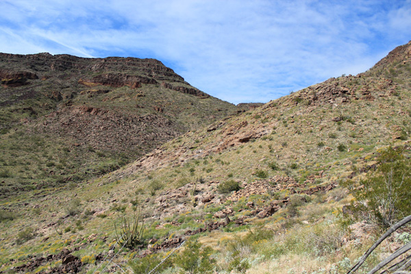
The canyon floor was rocky and brush began to slow our progress. We crossed a few washes, then decided to climb up onto the northern slope of the canyon to find better footing and more open country as we traversed across shallow gullies to the upper saddle.
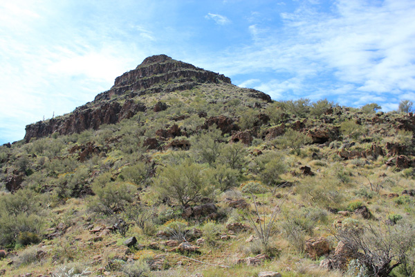
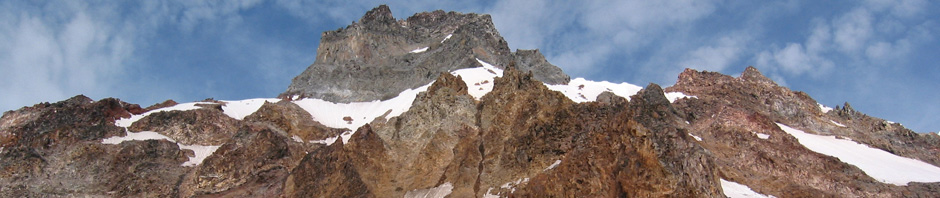
We rested at the upper saddle. From there the northeast ridge rose steeply to a short cliff band above us. We climbed the ridge and found good footing, little brush, and an easy and fun passage through the cliff band to the summit plateau.
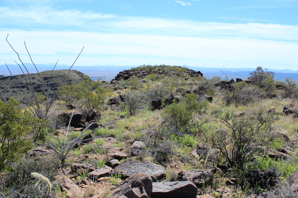
We found the benchmark and a bottle with a single sheet of paper with one name entered. After adding our names to the sheet Matthias added two more sheets and I added my pen to the bottle for those who would follow. Nearby to the south the slope descended and rose to a subsidiary summit, so to be sure we had tagged the highest point we walked over there as well, where the views were a little better.
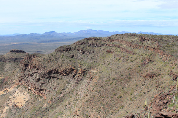
I enjoyed the views of the Ajo Range to the west, Cimarron Peak and the Sierra Blanca to the NE, and Ben Nevis and South Mountain to the ENE. I had recently visited South Mountain and enjoyed seeing it from a new perspective.
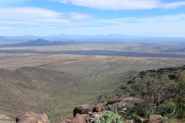
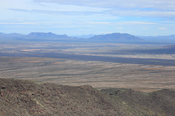
The east canyon lay below us and the forest along the San Simon wash was visible as a dark line across the desert beyond it. Beyond the forest Kitt Peak and Baboquivari Peak were visible on the horizon.
After resting, having lunch, and taking photos we descended back to the saddle. Here we decided to drop into the east canyon rather than traverse the north slope.
The ground was rocky and our progress slow. We descended a slab where we heard bees. Scott and I were at the end of the group and we were both swarmed by several bees. We moved as quickly as we could but Scott was stung on his forehead. Fortunately the bees were not as aggressive as they could have been and we escaped any serious mishap.
Eventually we reached the mouth of the canyon and the desert floor became more level and less rocky. We marched across the desert, found the forest road, and continued towards our cars. I fell behind the others but was able to keep them in view.
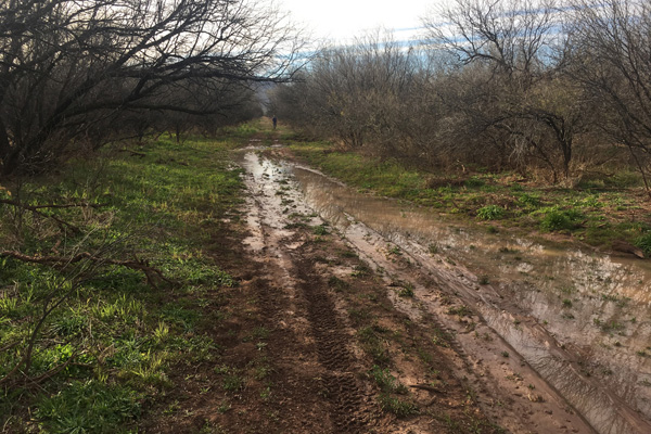
It seemed to take a long time to reach the muck signalling our cars were near. Scott and I used some branches to help cross two muddy channels and thereby avoided covering our boots in mud.
Mesquite Benchmark is remote and rarely visited and we were glad to have succeeded in visiting it. We saw no evidence that the Border Patrol had visited our cars. We uneventfully drove out to IR 21, north to AZ 86, and parted ways for our homes.

Leave a Reply