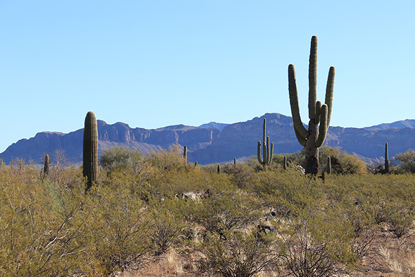
Linda and I recently took our first boondocking trip of the winter season near Ajo, Arizona. On Thursday, February 10, we drove in and parked our trailer on a concrete slab near an abandoned mine off the Darby Well Road southwest of Ajo. Over the next two days I climbed Sauceda Benchmark and Black Mountain while Linda explored the area on bicycle and foot. It was a sheltered and pleasant campsite.
My first climb was Sauceda Benchmark. With 1595 feet of prominence Sauceda Benchmark is the 126th most prominent peak in Arizona and the highpoint of the Sauceda Mountains. From our camp Friday morning, February 11, I drove to just south of Ajo, then turned northeast on the Pipeline Road.
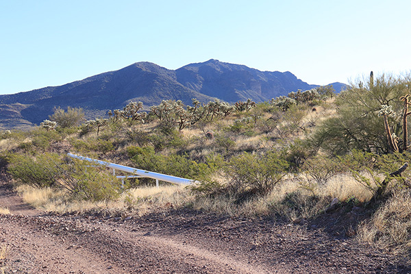
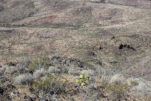
I followed the Pipeline Road for about 15 miles through Burro Gap and passed the Sikort Chuapo Mountains to the north. There were a few rutted spots on the road requiring moderate clearance. The last few miles were rocky and steep but my Jeep handled them very well. I found a good open spot between cacti to park off the road.
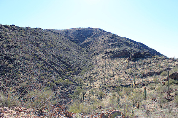
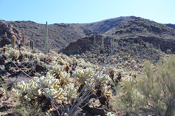
The northwest ridge rose from the desert floor near my parking spot. I had Matthias’s GPS route for reference. Soon I was climbing near the ridge crest on good footing. At one point low on the ridge I carefully passed through a field of Teddy Bear cholla without incident.
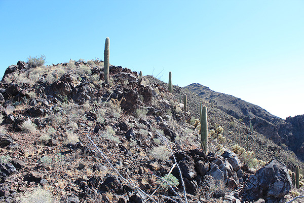
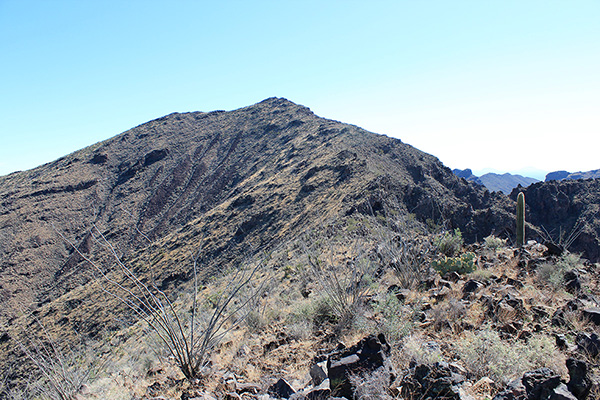
Higher on the ridge I reached a shoulder and for the first time I could see the summit of Sauceda Benchmark above me. From the shoulder the route above was open with occasional short sections of easy scrambling.
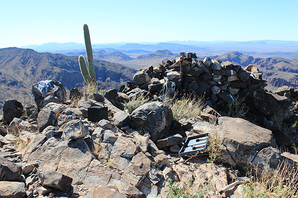
Eventually I reached the summit and discovered it was covered in discarded food cans and jars, cooking gear, a blanket, and several large batteries. This was apparently an abandoned drug scout lookout camp where scouts direct drug smugglers across the desert to avoid encountering the US Border Patrol. These camps can be manned and supplied for weeks at a time and the scouts are sometimes armed for protection against their competitors. I was glad to have the summit to myself.
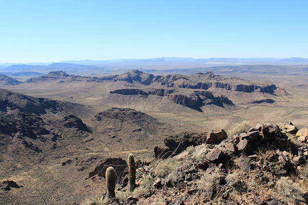
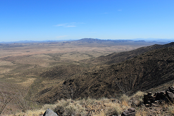
I enjoyed the views and identified many peaks I had previously visited and a few I still wished to climb. To the southwest I looked across the Sikort Chaupo Mountains and spotted Black Mountain and the New Cornelia Mine tailings near our campsite. The more distant Growler Mountains formed the skyline. Matthias and I climbed Growler Peak in December 2020.
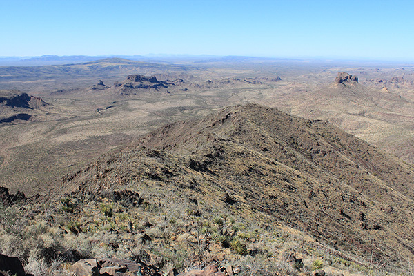
To the east I recognized Cimarron Peak and Gu Achi Peak rising behind it. Eric, Stacey, Adam and I climbed Cimarron Peak with Eric, Stacey, and Adam in February 2019. Josef and I climbed Gu Achi Peak in January 2016. I have fond memories of all these climbs.
After searching amongst the trash I found two “witness marks” but could not find the SAUCEDA benchmark nor any summit registry. After lunch I descended back down the ridge towards my Jeep. I watched several ATVs and a pickup pass by my Jeep along the Pipeline Road as I descended.
Once back to my Jeep I drove out along the Pipeline Road to Ajo for more ice for my cooler and our camp. Ajo was busy this Friday afternoon. From Ajo I returned to Linda and our dogs at our camp. Linda had taken the dogs on a walk in the morning and rode her mountain bike in the afternoon. It was a pleasant evening and a bright moon illuminated the night.

Leave a Reply