GlassMountains Trip Reports

Exploring the backcountry and wilderness of the Western USA.

Trip Reports

  • SITE HOME
  • ALL
  • BICYCLING
  • CLIMBING
  • HIKING
  • SKIING
  • FAMILY

Post navigation

← Previous Post
Next Post →

Maxwell Benchmark, Oregon, July 2020

August 13, 2020 by Paul McClellan Leave a Comment

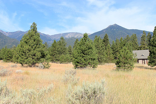
Maxwell Benchmark and Hunt Mountain rise abruptly above the Baker Valley and invite a visit each time I see them. Early on Thursday, July 30, I left the valley to visit them.

Maxwell Benchmark (center) and Hunt Mountain (right) from Running Iron Road in the Baker Valley

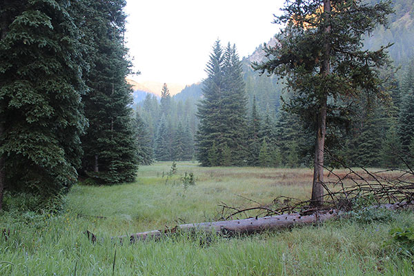
From the Baker Valley I turned off Pocahontas Road and drove west up South Rock Creek Road. I continued along Rock Creek as the road entered National Forest, became FR 5520, and changed from pavement to good gravel to coarse and eroded gravel. I passed the Killamacue Trailhead and arrived at Eilertson Meadow.

Eilertson Meadow from my parking spot

Here I turned onto a lesser road and starting driving uphill. The road became narrow, steep, and brushy and I was concerned that should I meet a vehicle coming in the other direction, either then or while descending in the afternoon, it might be difficult to pass. So I took advantage of a wider spot in the road, turned around, returned to Eilertson Meadow, and parked.

Here the road turns into an ATV track. A good parking spot is just before here.
One of the Highland Mine ruins beside the road

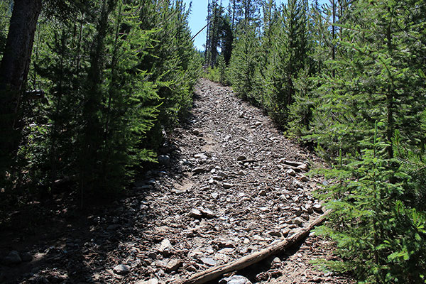
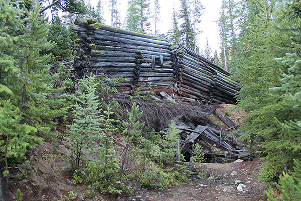
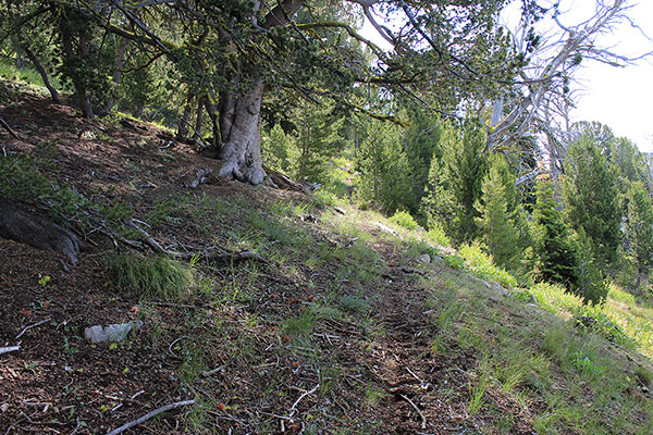
I hiked up the sometimes narrow and steep road into a narrow valley past mining ruins. Shortly before the second ruins I found a good parking spot on my left just as the road steepened sharply, became very rocky, and seemed more an ATV track than a road. Next time I might drive to this spot, listening as I drive for any approaching vehicles.

The ATV track passes trail junctions and becomes the Highland Trail
Looking across towards the Cougar Basin from the Highland Trail in morning light

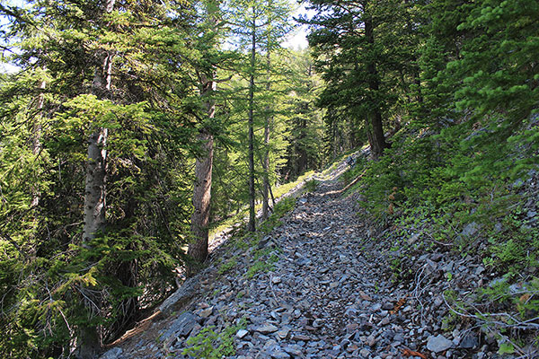
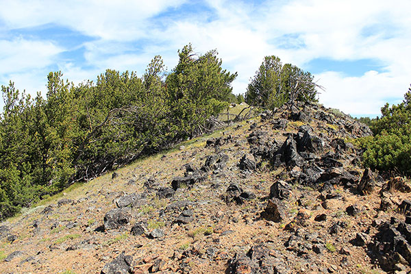
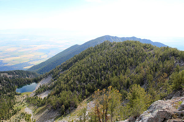
Eventually the ATV track passes junctions and becomes the Highland Trail, climbing through forest, beside rock slides, and across open slopes. The morning light illuminated basins and ridges to the west.

Castilleja flava var. rustica beside the Highland Trail. It is rare in Oregon.
Lewis Flax (Linum lewisii), named after Meriwether Lewis of the Lewis and Clark Expedition.

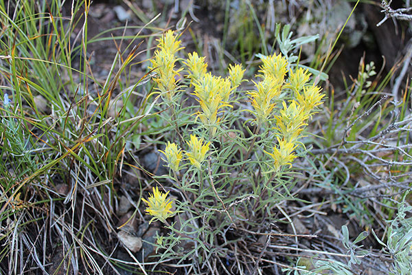
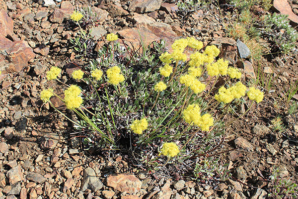
I found several wildflowers on the higher open slopes in morning shade and paused for photos. One was a yellow Indian Paintbrush. After much study at home I made my best guess as Castilleja oresbia, and posted my observation as such on iNaturalist.org. An expert subsequently identified it as Castilleja flava var. rustica, a great find as it is rare in Oregon.

The Highland Trail becomes more faint as it approaches the saddle, but is still easy to follow

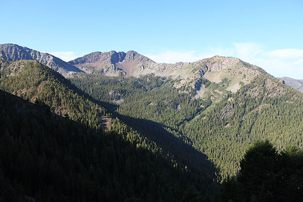
The Highland Trail switchbacks upwards to a saddle at 8200 feet below the south ridge of Maxwell Benchmark. It then continues over the saddle and down into the Pine Creek drainage. According to plan I left the trail here and climbed the open south ridge towards the summit of Maxwell Benchmark.

Rock Buckwheat (Eriogonum sphaerocephalum) on the saddle below the south ridge of Maxwell Benchmark
The south ridge of Maxwell Benchmark is an easy climb with great views

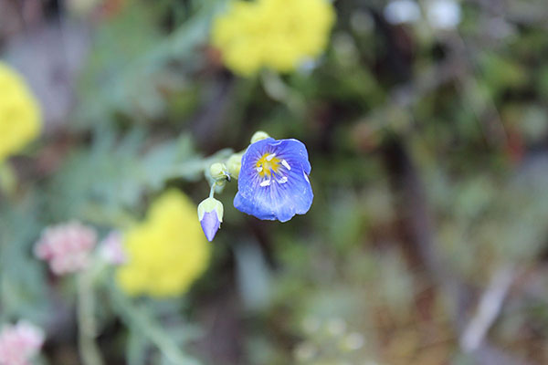
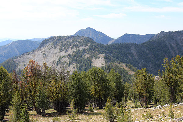
Hunt Mountain seemed much too far to traverse over to and back on what was expected to be a hot day so I decided to defer visiting Hunt Mountain to another day. Instead, I took my time climbing the south ridge, pausing several times for photos of the surrounding mountains and colorful flowers.

The Maxwell Benchmark summit. The MAXWELL benchmark, itself, lies in front of my pack.
Willow Creek Lake, Hunt Mountain, and the Baker Valley from the Maxwell Benchmark summit

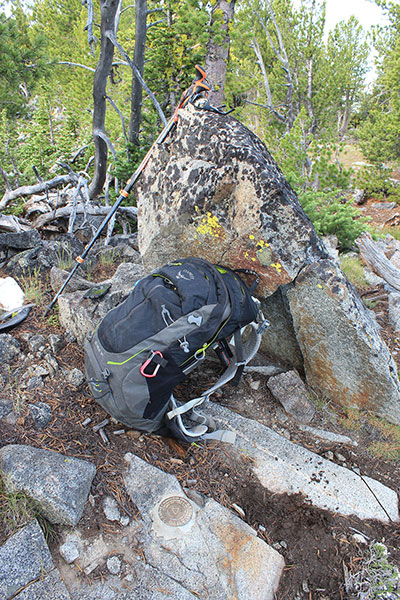
At the Maxwell Benchmark summit I rested, had lunch, and enjoyed the views. I studied the traverse towards Hunts Mountain. Instead, I think I will attempt Hunt Mountain from Pine Creek up its south ridge next time. I tagged an alternative nearby summit just to be sure I had visited the highest point.

Peak 8615 and Elkhorn Peak beyond it from high on Maxwell Benchmark
Rock Creek Butte appears behind the Cougar Pond Peaks from high on Maxwell Benchmark

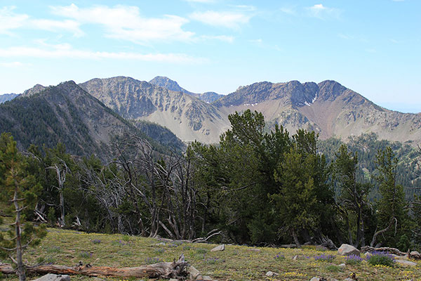
Descending my route, I paused several times for more photos. I recognized many Elkhorn peaks I have previously visited and picked out several new ones to visit another time.

Chloride Ridge from low on the Highland Trail. Twin Mountain lies beyond to the right

I had the hike to myself and met only one other person, on an ATV, after I had returned to my Jeep. It had been a scenic and pleasant day on trail and open country. Someday I expect to return, but I have many other peaks to visit before then.

Filed Under: Hiking Tagged With: Elkhorn Mountains, Maxwell Benchmark, Oregon

Leave a Reply Cancel reply

Your email address will not be published. Required fields are marked *

RECENT POSTS

  • Southern Perilla Peaks, Arizona, April 2025
  • Peak 2976 (Little Ajo Mountains), Arizona, March 2025
  • Childs Mountain, Arizona, March 2025
  • Slavin Peak and China Peak, Arizona, March 2025

MONTHLY ARCHIVES

Blogroll

  • Arizona Peaks (Peavy)
  • Cycle Uphill (Sharp)
  • Desert Mountaineer (Kasian)
  • Earthline: The American West (Van Winegarden)
  • jessb.org (Beauchemin)
  • New Bohemians (Rogers)
  • Stav is Lost
  • The Mountains of Arizona (Surgent)
  • The Zenith (Baker)

Site content Copyright © 2025 Paul J. McClellan. All rights reserved.
Copyright Details
Log in