On Tuesday, January 28, June Meyer and Bill Hiscox joined me on a climb of “Mescal Peak” in the southern Whetstone Mountains of Arizona. This peak is not officially named, and would normally just be called Peak 6193 (for its point elevation). But some local peakbaggers have given it the name “Mescal Peak”; Mescal Spring and Mescal Creek lie just north and east of it. Numbered names are boring and difficult to remember.
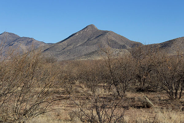
I wanted to climb Mescal Peak because it has 1106 feet of topographic prominence, has a classic conical shape, and foot access. June and Bill, also Southern Arizona Hiking Club members, joined me out of curiosity. The peak is local but has not been added to the nearly 500 other peaks on the club list.
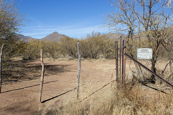
Mescal Peak is quite notable from Arizona Highway 82 between the communities of Sonoita and Whetstone. There is an informal parking spot just off the highway for several vehicles. While a padlocked gate keeps unauthorized vehicles off ranch land a sign allows foot traffic to proceed.

We left my Jeep beside the highway and squeezed through the barbed wire gate. From there we continued on a ranch road past grazing cattle. The road led us north towards Mescal Peak, then turned a bit to the northwest as it passed through a thick forest of acacia. The temptation was too strong to continue further west out of our way. So we left the road and weaved through the forest directly towards the peak as best we could.
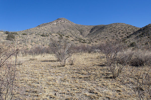

The acacia forest thinned as we approached the peak. From the lower slopes of the peak we climbed a sloping ridge leading to the peak’s south ridge.
Once on the south ridge we followed it higher through a forest of ocotillo with an understory of yucca, agave, and prickly pear. One had to keep watch for spines.
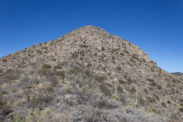
Higher, the ridge turned slightly west and led us directly towards the steep upper slopes of Mescal Peak.
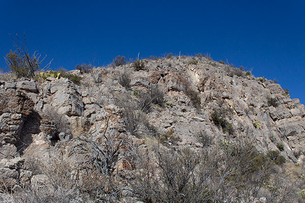
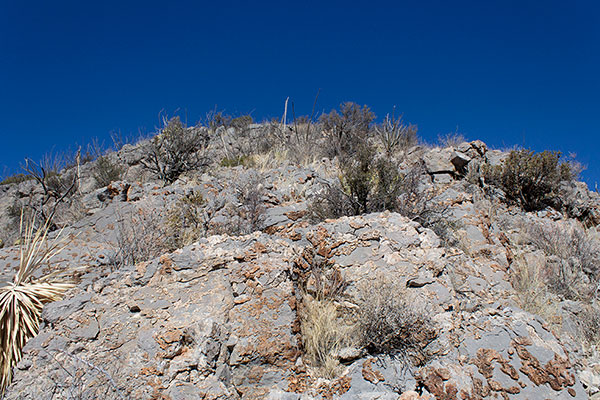
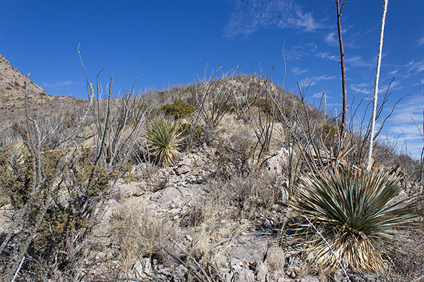
The highest slopes are rimmed with low, crumbling cliffs of loose rock. The rock reminded us strongly of the rock we have seen higher in the Whetstone Mountains immediately to the north. Likely Mescal Peak is part of the Whetstone Mountains, rather than part of the nearby Mustang Mountains to the southwest.

On the highest slopes the vegetation thinned. With care we enjoyed scrambling over the rocks. Soon we were on the summit.
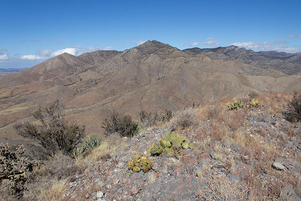
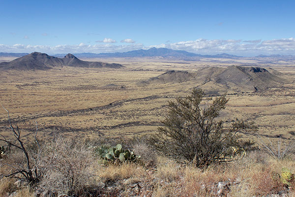
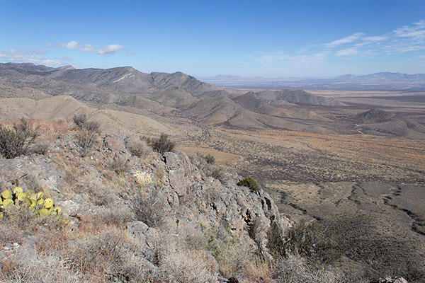
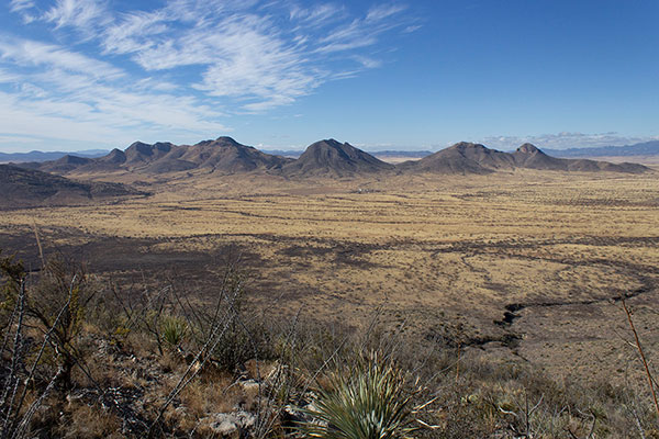
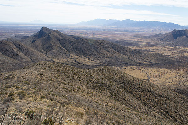
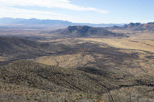
The open summit of this steep-sloped peak offered views of local peaks and more distant ranges in all directions. The nearby Mustang Mountains to the southwest displayed many sheer cliffs. The Whetstone Mountains climbed higher immediately to the north.
After a short stay we descended the slopes to the plain below. We chose a less direct way back to the ranch road to avoid some of the acacia. We returned to my Jeep along the ranch road, noticing curious ranch items and a shell fossil.
Mescal Peak, while not a high one, has a distinctive shape. I will remember this day’s visit and those I shared it with whenever I drive by or spot the peak from surrounding ranges.

Leave a Reply